Cropland Segmentation Using CNNs and Google Earth Engine
November 10, 2024
Technologies
Pytorch
Google Earth Engine
Flask
Python
Typescript
TailwindCSS
React
NextJS
Leaflet
QGIS
Description
Earned 3rd place in the TAMIDS Challenge for TAMU Datathon 2024.
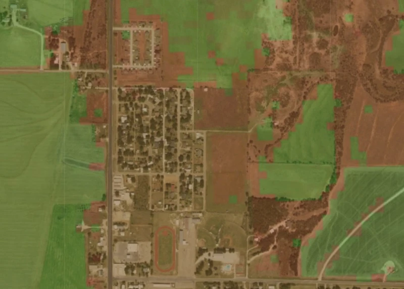
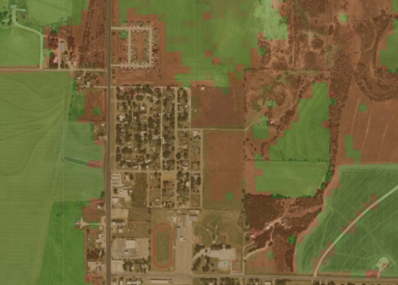
Cropland area data is invaluable, yet not available for all countries. Trained on cropland data from the USDA, this model can segment satellite imagery anywhere into masks that describe the crop landscape.